What Is Oceanicity? How the Ocean Influences Weather and Climate
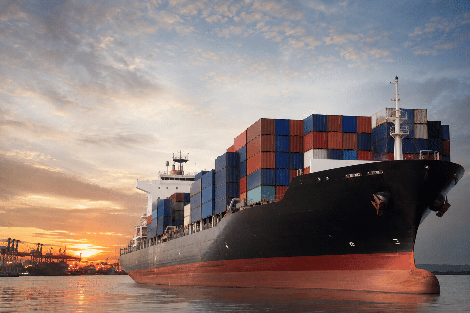
Most people size up the weather by temperature, rain, or how bad the last storm was. But if you’re trying to figure out what actually happened at a specific place and time, there’s a factor that matters more than people realize: oceanicity, or how much a nearby ocean bends the local weather.
At Atlantic States Weather, this comes up constantly. Whether we’re piecing together hurricane damage after the fact, testifying as expert witnesses, or reconstructing what the weather conditions were on a specific afternoon years ago, we can’t get the answer right without accounting for how close the ocean is and what it’s doing to the atmosphere above it.
What oceanicity actually means
Oceanicity is the ocean’s fingerprint on the climate around it. Water heats up and cools down far more slowly than land does, so anywhere close to the coast tends to run milder than you’d expect: not as hot in summer, not as cold in winter, and generally more humid, cloudier, and foggier than places even twenty or thirty miles inland.
Move away from the coast and that moderating effect disappears fast. Inland areas swing harder between seasons and even between day and night, because land heats up and loses heat much more quickly than water does.
Why water holds its ground
Think of the ocean as a giant thermal battery. It soaks up heat all summer without warming much on the surface, then gives that heat back slowly through the fall and winter. That’s the whole mechanism behind why a beach town in July can be running 10 to 20 degrees cooler on a summer afternoon than a city fifty miles inland, and why coastal winter nights rarely get as brutally cold.
It sounds like a small detail, but it isn’t. That temperature gap shapes crop cycles, energy bills, road conditions, and — the part we deal with most — how dangerous a given storm turns out to be.
Where this matters most: severe weather
Hurricanes run on ocean heat. The warmer the water, the more fuel a storm has to work with, and once it makes landfall, everything from the coastline’s shape to the surrounding humidity and wind patterns determines how much damage it does and where.
When we’re reconstructing a hurricane’s exact impact on a property or a stretch of coastline, we’re not just looking at wind speed in the abstract. We’re working through storm surge behavior, how rainfall was distributed, flooding risk, wave heights, and the timing of the worst conditions, all of which shift block by block depending on how exposed a location is to the water.
That level of detail is often what insurance claims, litigation, and engineering reviews actually hinge on.
Why “close enough” doesn’t cut it in forensic work
Reconstructing a past weather event means getting as close to the truth as the data allows. And oceanicity is one of the biggest reasons two properties a few miles apart can have experienced completely different conditions during the very same storm.
The differences come down to things like:
- How far each property sits from the water
- Elevation and terrain
- Which direction the wind was hitting from
- The shape of the coastline itself
- Nearby rivers, marshes, or inlets
- The storm’s actual track
None of that shows up if you just pull data from the closest weather station and call it done. We layer in radar, surface observations, post-storm surveys, public reports, weather models, and historical climate records to build a picture that holds up under real scrutiny, whether that’s a courtroom, an insurance review, or a technical evaluation.
Why location-specific analysis is worth the extra effort
One of the most common mistakes in weather investigations is assuming the nearest weather station tells the whole story. Coastal weather is genuinely variable over short distances, and oceanicity is one of several forces — along with terrain, land cover, and atmospheric conditions and circulations — that can make conditions a mile away look nothing like conditions where the loss actually happened.
That’s why we build our analyses around the exact location in question rather than leaning on a regional summary. With more than 35 years in applied meteorology and over 850 forensic cases behind us, we’ve learned that shortcuts here tend to show up later, usually in a deposition.
The bigger picture
Oceanicity is one of the quiet forces shaping everything from an average Tuesday’s temperature to how destructive next season’s hurricane turns out to be. For attorneys, insurers, government agencies, and anyone else who needs a defensible account of what the weather actually did at a specific place and time, understanding these coastal effects isn’t optional — it’s the difference between an analysis that holds up and one that doesn’t.
When weather ends up at the center of a case or a claim, the details of location are usually where the real answer is hiding.