What NOAA's 2026 Hurricane Forecast Actually Tells You — and What It Doesn't
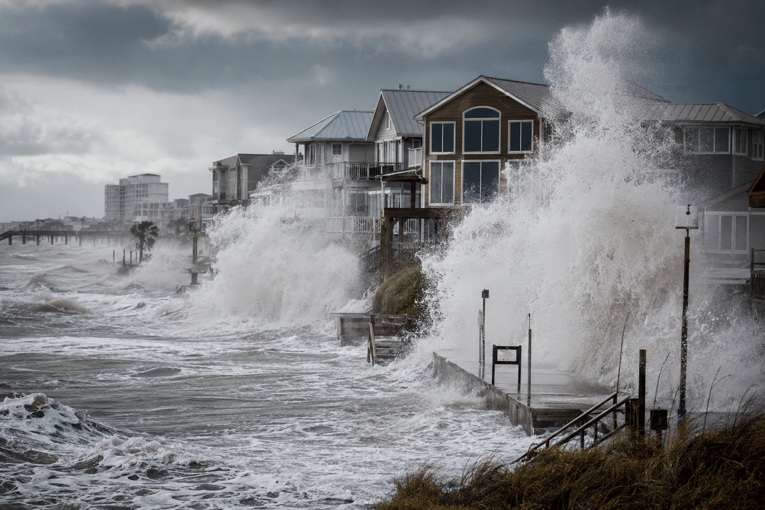
A below-normal hurricane season doesn't mean a forgettable one.
NOAA's latest Atlantic basin outlook calls for 8 to 14 named storms, 3 to 6 hurricanes, and 1 to 3 major hurricanes — modest numbers by recent standards.
But some of the most destructive storms on record came in quiet years, and forecasters are quick to point out that the forecast tells you nothing about where those storms are going to go.
Here's why.
A seasonal forecast isn't a local forecast
NOAA's outlook is built on large-scale atmospheric and oceanic signals—such as sea surface temperatures (how warm the ocean is), wind shear patterns (changes in wind speed or direction at different heights in the atmosphere), and whether El Niño or La Niña is present (climate patterns in the Pacific Ocean that influence weather around the world, including Atlantic hurricane activity). Those signals are genuinely useful for estimating how much overall tropical activity the Atlantic basin might see.
Here's the catch: none of that tells you whether a storm will make landfall near your city. The atmosphere doesn't care about seasonal averages when it's deciding where to send a hurricane in August.
A quiet season can still put a major storm directly over your county (see Hurricane Andrew in 1992!). A hyperactive season can burn itself out in the open Atlantic without touching land.
One storm is enough
Think about the seasons people actually remember. They don't remember them because of the storm count. They remember them because of what one particular storm did to one particular place.
A single hurricane can bring destructive winds, storm surge, flooding rain, embedded tornadoes, and in many cases, infrastructure damage that takes years to repair. It doesn't matter if it was the only storm of the season or the 14th.
This is why preparedness messaging from meteorologists doesn't change much based on seasonal outlooks. Whether forecasters are predicting an active year or a slow one, the advice is essentially the same: don't let the headline lull you into a false sense of security.
The street-by-street reality of storm impacts
Even within a single storm, the difference between neighborhoods — let alone counties or states — can be dramatic.
One community might experience sustained hurricane-force winds while the next town over sees nothing worse than a strong thunderstorm. Storm surge is heavily influenced by coastline geometry, and the storm's exact track, so two locations just miles apart can face completely different scenarios. Rainfall totals during slow-moving storms can vary by several inches within a relatively short distance.
For anyone dealing with insurance claims, property disputes, or operational decisions after a storm, these distinctions are everything.
When the Details Become Evidence
This is where forensic meteorology comes in: the work of reconstructing exactly what weather conditions existed at a specific location during a specific event.
When a storm passes through, the official record rarely tells you what happened at a specific address; it tells you what happened nearby. Closing that gap requires digging into radar returns, surface station data logs, recon flight data, post-storm analyses, public reports, and model output, then piecing it together into something that actually reflects conditions on the ground. Wind speeds at that building, not the airport three miles away. When the surge water arrived in relation to the wind speeds, not just that it did arrive. How many inches fell in that watershed, not the county average.
That level of detail ends up mattering in places people don't always anticipate: insurance disputes, legal proceedings, infrastructure failure investigations, agency after-action reports. A broad seasonal overview won't hold up when someone needs to know what the wind was doing at 2 a.m. at one particular location. Reconstructed local conditions will.
For more than two decades, Atlantic States Weather has specialized in this type of forensic meteorological analysis. Since 2004, the firm has been involved in more than 850 cases, providing litigation support, expert testimony, and detailed investigations of hurricanes, flooding, hail, tornadoes, severe winds, icing events, and other significant weather incidents. Their work has supported clients ranging from private businesses and insurance professionals to organizations such as the U.S. Department of Justice, U.S. Department of Defense, the North Carolina Attorney General's Office, and the North Carolina Division of Emergency Management.
Because weather impacts can vary dramatically over short distances, site-specific analysis is often necessary to determine what conditions actually occurred at a particular property or location. That level of precision can make all the difference when weather events become legal, financial, or operational matters.
The Bottom Line
NOAA's 2026 outlook, which will be updated in August, is worth reading. It provides genuine insight into the environmental conditions shaping this hurricane season and helps calibrate preparedness efforts. But it's one piece of a larger picture.
The season will ultimately be defined not by how many storms form, but by where those storms go. A "below-normal" season with one landfalling major hurricane is still a bad season for whoever is in that storm's path.
Local risk doesn't scale with basin-wide averages. Keep that in mind as the season unfolds. And when questions arise about what weather conditions actually occurred at a specific location, detailed forensic analysis—not seasonal forecasts—provides the answers needed for decision-making, investigations, and dispute resolution.